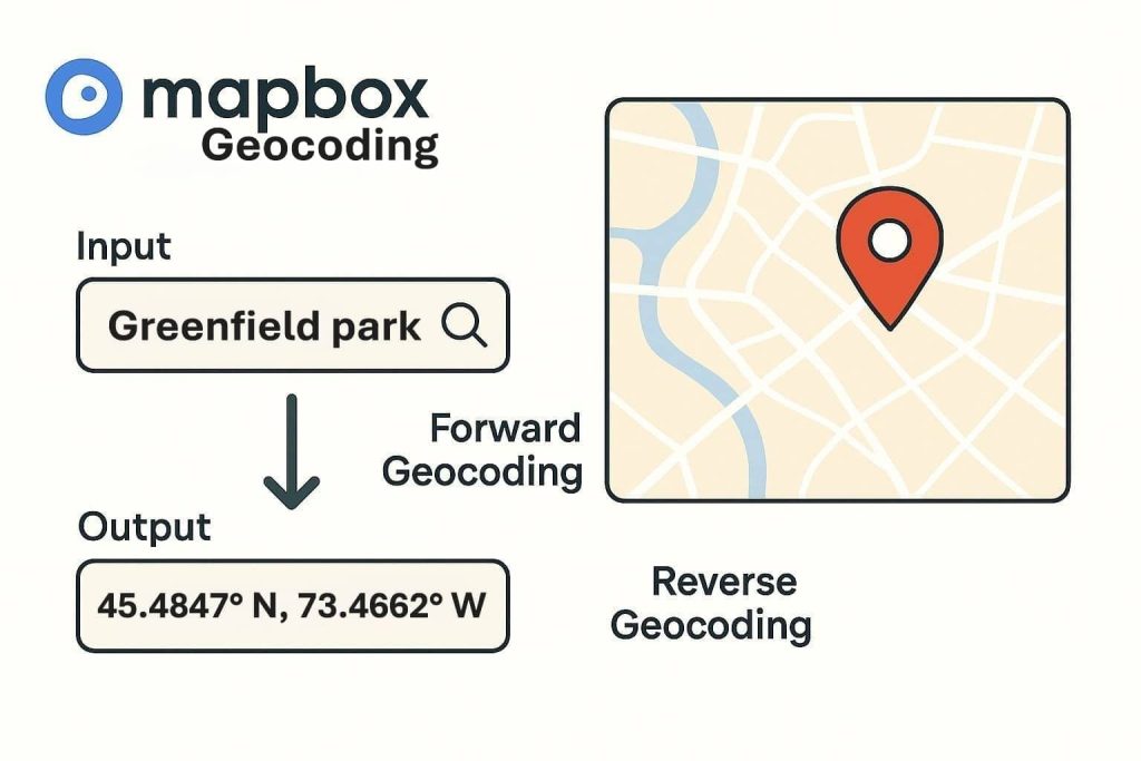
Greene County GIS Map
Greene County GIS Mapping The Greene County Geographic Information Systems (GIS) Department provides a comprehensive GIS to support the needs of government agencies and the residents of Greene County. Greene County GIS Map creates, manages, analyzes, and maps all different kinds of data used to support a wide range of functions. Greene County GIS Data Download […]