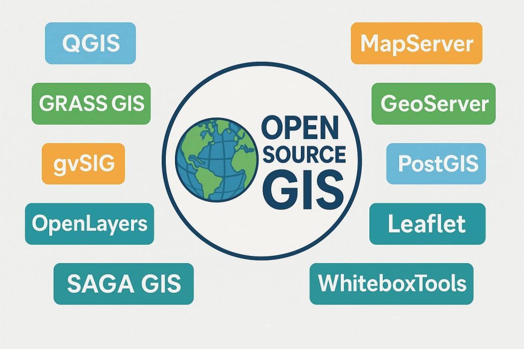
Open Source GIS
Free and Open-Source GIS Software Open-Source GIS refers to GIS software that is freely available for use, modification, and distribution under open licenses. It is supported by global communities of developers and users who contribute to its improvement, ensuring continuous innovation and transparency. Open-source GIS is valued for its cost effectiveness, customization capabilities, and interoperability. […]