ArcGIS Maps for Adobe Creative Cloud
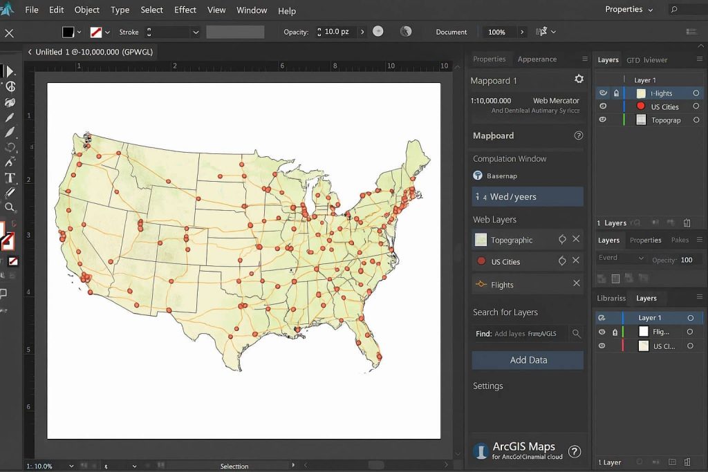
ArcGIS Maps for Adobe Creative Cloud Introduction ArcGIS Maps for Adobe Creative Cloud access to design with data-driven maps inside Adobe Illustrator and Photoshop. It’s Quickly find and add geographic content to your work as editable vector layers and high-resolution images. What It Does Key Features Feature Description 🔍 Search and Add Layers Add data layers […]