ArcGIS Pro

ArcGIS Pro is the latest professional desktop GIS application from Esri

ArcGIS Pro, you can explore, visualize, and analyze data; create 2D maps and 3D scenes.

In below List of ArcGIS Pro Tutorial.

ArcGIS pro 3.4 map view

ArcGIS Pro 3.4

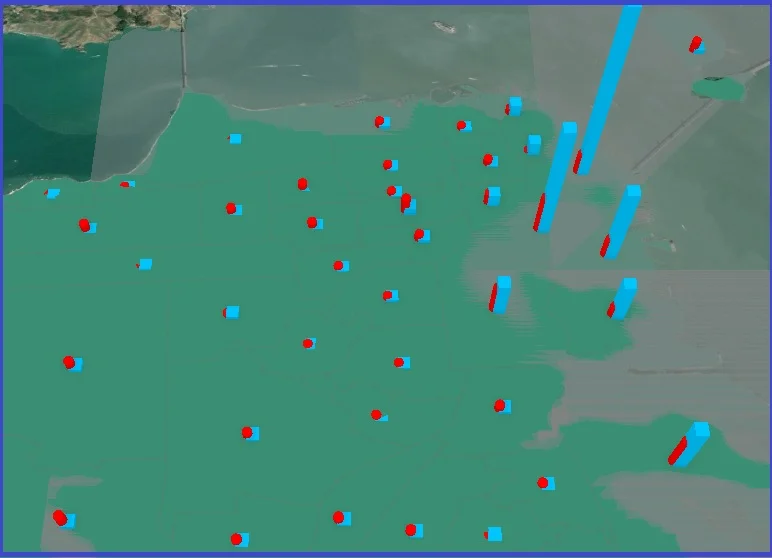
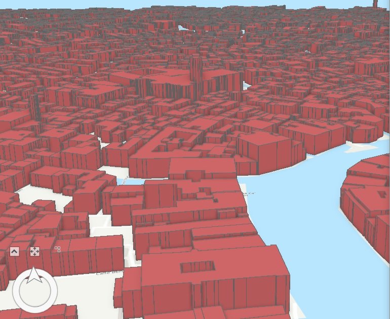
ArcGIS Pro 3.4 (Latest Version) In this release ArcGIS Pro development team, added a variety of new features focusing on innovation, as well as productivity and performance. This include creating a definition query from a feature selection, combo chats, improvements to search functionality, and many more. What’s New in ArcGIS Pro 3.4? ESRI has made some […]

ArcGIS Pro 3.4 Read More »

Arc GIS Pro

Learn ArcGIS Pro

Introducing ArcGIS Pro – Advanced Mapping and Analysis In this tutorial, you’ll learn the main components of the ArcGIS Pro user interface—the Ribbon, Views, and Panes. What is ArcGIS Pro? ArcGIS Pro is the latest Professional desktop GIS application from ESRI. Its supported data visualization, advanced analysis and authoritative data maintenance in both 2D and 3D. Features:

Learn ArcGIS Pro Read More »

ArcGIS pro 3D

ArcGIS Pro 3D

ArcGIS Pro – 3D The Cration of ArcGIS Pro 3D is amazing, better view and understanding of the proper model. It is easy to create and use for any Planning as well as Business purpose. In this Tutorial Learn ArcGIS Pro 3D – Convert a Map to a Scene. 3D view in ArcGIS Pro Create

ArcGIS Pro 3D Read More »

Scroll to Top