ArcGIS Pro

ArcGIS Pro is the latest professional desktop GIS application from Esri

ArcGIS Pro, you can explore, visualize, and analyze data; create 2D maps and 3D scenes.

In below List of ArcGIS Pro Tutorial.

Raster Calculator ArcGIS Pro

ArcGIS Pro Raster Calculator In ArcGIS Pro, Raster Calculator tool allows to create and execute Map Algebra expressions in a tool. This tool can be used in ModelBuilder, allowing you to integrate the power of Map Algebra into your workflows. Benefits The Raster Calculator tool is designed to offer the following benefits: Use Raster Calculator […]

Raster Calculator ArcGIS Pro Read More »

Geoprocessing ArcGIS Pro

ArcGIS Pro Geoprocessing What is Geoprocessing? Geoprocessing is based on a framework of data transformation, and and produces a new dataset as the result of the tool. Geoprocessing is provide tools and a framework for performing analysis and managing your geographic data. The modeling and analysis capabilities geoprocessing provides make ArcGIS a complete geographic information

Geoprocessing ArcGIS Pro Read More »

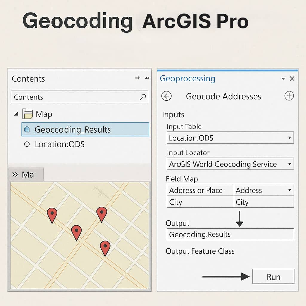
Geocoding ArcGIS Pro

Geocoding ArcGIS Pro

Geocoding in ArcGIS Pro ArcGIS Pro Geocoding process requires a table that stores the addresses you want to geocode, and an address locator or a composite address locator. This tool matches the stored addresses against the locator and saves the result for each input record in a new point feature class. When using the ArcGIS

Geocoding ArcGIS Pro Read More »

Xtools Pro

Xtools Pro What is XTools Pro? XTools Pro is one of the most popular and full-featured extensions for ArcGIS Desktop and ArcGIS Pro, providing various tools and features for work with spatial data, vector spatial analysis, shape conversion and table management. Features Download and Install XTools If this is your first time downloading and installing

Xtools Pro Read More »

Scroll to Top