GISRSStudy » ArcGIS

ArcGIS

ArcGIS Developed by ESRI,  use for mapping and analytics platform.

ArcMap Provides GIS and Mapping Products- ArcGIS Online, ArcGIS Pro, ArcGIS Enterprise, ArcGIS for Developers.

In below list of ArcGIS Tutorial.

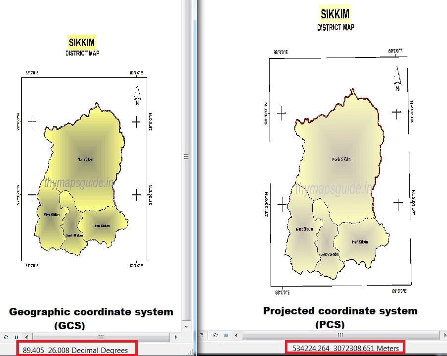
ArcGIS GeoJSON

ArcGIS GeoJSON What is GeoJSON? GeoJSON is an JavaScript Object Notation (JSON). It is a open standard geospatial data interchange format that represents simple geographic features and their non-spatial attributes. It uses a geographic coordinate reference system, World Geodetic System 1984, and units of decimal degrees. How you can use GeoJSON files in an ArcGIS

ArcGIS GeoJSON Read More »

ArcGIS NET

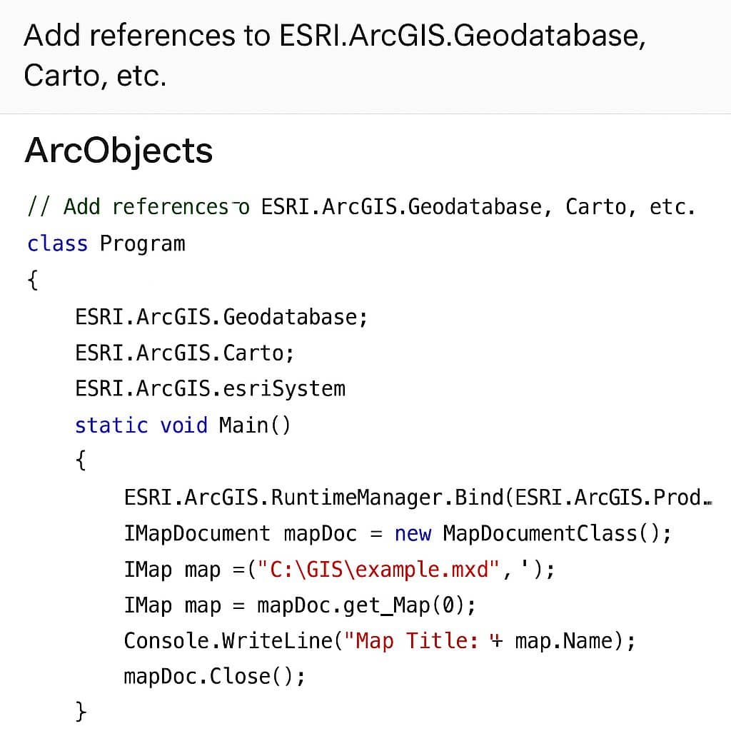
ArcGIS Maps SDK for .NET ArcGIS Maps SDK for .NET to build native desktop and mobile apps that incorporate capabilities such as 2D and 3D data visualization, geocoding, routing, and geoprocessing, for deployment on Windows, Android or iOS devices. Get started Maps SDK for .NET Follow the steps below to get started with .NET and

ArcGIS NET Read More »

ArcGIS Linux

ArcGIS Linux ArcGIS Linux Server provides the platform for sharing your GIS resources, such as maps, with your user community, whether they’re sitting in the same office using ArcGIS Pro or sitting across the country accessing and viewing maps through the Internet. Linux operating system requirements ArcGIS Server is only supported on Linux x86_64, on

ArcGIS Linux Read More »

ArcGIS Javascript API

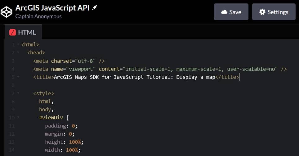
ArcGIS API for Javascript What is ArcGIS API for Javascript? ArcGIS API for JavaScript is a developer product for building mapping and spatial analysis applications for the web. The SDK contains a JavaScript API, API reference, documentation, samples, and other resources to assist with building web mapping applications. The SDK is designed to work optimally

ArcGIS Javascript API Read More »

Scroll to Top