Web GIS

WebGIS is a web services, that deliver data and capabilities, and connect components. It’s implementing a modern GIS. Web GIS is a cloud based web server on the Internet.

MapServer

MapServer

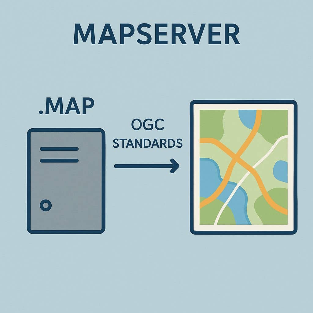
MapServer Tutorial What is MapServer? MapServer is an Open Source platform for publishing spatial data and interactive mapping applications to the web. It is released under an MIT-style license, and runs on all major platforms, Windows, Linux, Mac OS. Map Server is one of the founding projects of the OSGeo foundation. Map Servers allows you […]

MapServer Read More »

open street map

Open Street Maps

Open Street Maps Tutorial In this article we will discuss, how to use Open Street Maps and Tutorial. What is the Open Street Map? Open Street Maps is a map of the world, created by people like you and free to use under an open license. OpenStreetMap is built by a community of mappers that

Open Street Maps Read More »

Leaflet js Map

Leaflet.js Map What is Leaflet Map? Leaflet is the open-source Java Scripted (js), mobile-friendly interactive map. It works efficiently on all desktop and mobile platforms, can be extended with lots of plugins, has a beautiful, easy to use and well-documented API. Popular Leaflet Plugins: Features: Download Leaflet Leaflet build system is powered by the Node.js

Leaflet js Map Read More »

Google Earth Web

Explore Google Earth Web What is the Google Earth Web? Google Earth Web is an advance Earth version to explore worldwide satellite imagery and 3D buildings and terrain. Earth Google Web is the world’s most detailed globe. It’s offer to create your own project, Download and Share with anyone. How to Use Google Earth Web?

Google Earth Web Read More »

WebGIS

Summary: – WebGIS include real-time data access, user-friendly interfaces, interactive maps, and cloud-based data storage. It supports a wide range of applications, and Data Formats. It is built using web technologies such as HTML, JavaScript, Web Mapping Services (WMS), and APIs, and often leverages platforms like Leaflet. Introduction: Mapping Magic in the Digital Age. Have

WebGIS Read More »

Scroll to Top