GISRSStudy » Sensor

Sensor

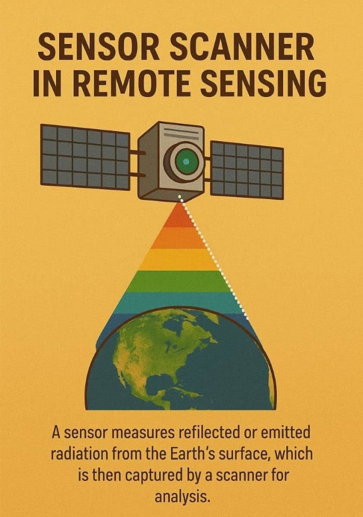
A sensor is a device that produces an output signal for the purpose of sensing a physical phenomenon. In Remote Sensing, using scanning systems, which employ a Sensor with a narrow Instantaneous Field of View (IFOV) that sweeps over the terrain.

Sensor Scanner

Sensor Scanner in Remote Sensing What is Sensor Scanner In Remote Sensing, using scanning systems, which employ a Sensor with a narrow Instantaneous Field of View (IFOV) that sweeps over the terrain. Scanning systems can be used on both aircraft and satellite platforms. Types of Sensor Scanning System There are two main modes of scanning […]

Sensor Scanner Read More »

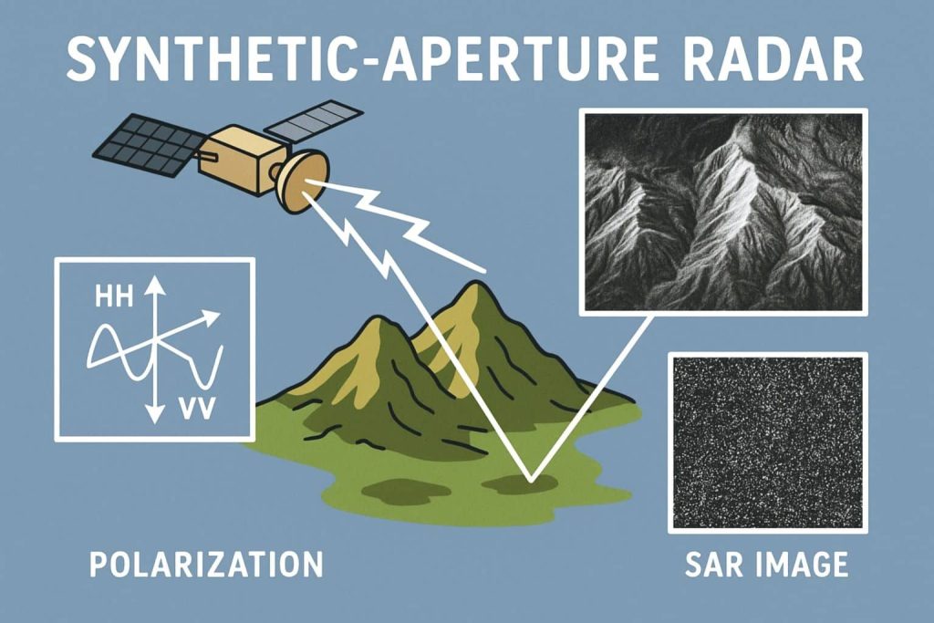
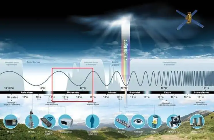
Microwave Remote Sensing

Microwave Remote Sensing What is Microwave Remote Sensing? Microwave Remote Sensing (RS) uses Electromagnetic radiation with a wavelength between 1 mm (millimeter) to 1 meter and frequency interval from 40,000 to 300 Hz (Hertz). This covers the longest wavelengths used for remote sensing. Because of the greater wavelength compared to visible and infrared radiation, microwaves

Microwave Remote Sensing Read More »

ASTER Sensor

ASTER Satellite Sensor ASTER stand for Advanced Spaceborne Thermal Emission and Reflection Radiometer, it is operating on the Terra spacecraft. The Terra satellite launched in December 1999 as part of NASA’s Earth Observing System (EOS), a Sun-synchronous polar orbit. ASTER is a cooperative effort between NASA, Japan’s Ministry of Economy, Trade and Industry (METI), and

ASTER Sensor Read More »

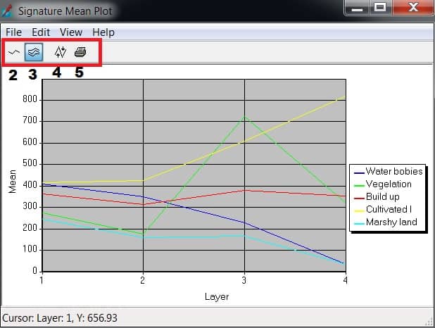
Panchromatic

Panchromatic Sensor The Panchromatic (PAN) Sensor had 5.8 m spatial resolution, as well as stereo capability. Its swath width is 70 m. Revisit time was every five days, with ± 26° off-nadir viewing. Panchromatic Band Band Wavelenth (µm) pan 0.5 to 0.75 Panchromatic Imagery A panchromatic imagery uses a single band image. This imagery is

Panchromatic Read More »

Scroll to Top