Remote Sensing

Remote sensing (RS) is an art and science of obtaining information about physical characteristics of an area by measuring its reflected and emitted radiation at a distance to help of Satellite or Aircraft.

In below list of Remote sensing Analysis Tutorial.

NRSC Hyderabad Training

NRSC Training- Hyderabad NRSC (National Remote Sensing Centre) offers to different types of GIS and Remote Sensing training with Certificate. Training courses are conducted for capacity building in geospatial technologies and Remote Sensing Applications. NRSC Courses Regular, special and customized courses are organized towards capacity building of user community for effective use of space inputs […]

NRSC Hyderabad Training Read More »

ISRO Free Online Courses

Explore ISRO’s Free Online Courses: Certification Opportunities for Students and Professionals ISRO (Indian Space Research Organization) provides a free online GIS and Remote Sensing courses with Certificate. IIRS (Indian Institute of Remote Sensing) Outreach program focuses on strengthening the Academia and User Segments in Space Technology & Its applications using Online Learning Platforms. Under this

ISRO Free Online Courses Read More »

Image Enhancement in Remote Sensing

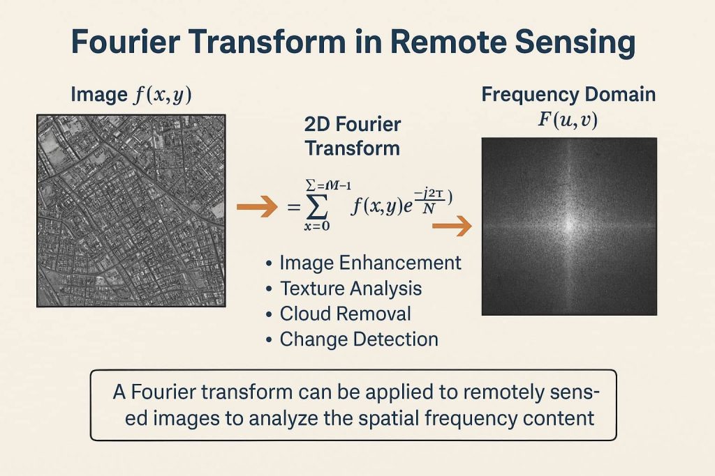
Image Enhancement in Remote Sensing Image enhancement is the process of making an image more interpret-able for a particular application (Faust, 1989). Enhancement makes important features of raw, remotely sensed data more interpret-able to the human eye. The techniques to be used in image enhancement depend upon: Satellite Image Enhancement Techniques Radiometric Enhancement Radiometric enhancement

Image Enhancement in Remote Sensing Read More »

Scroll to Top