Raster Image Processing
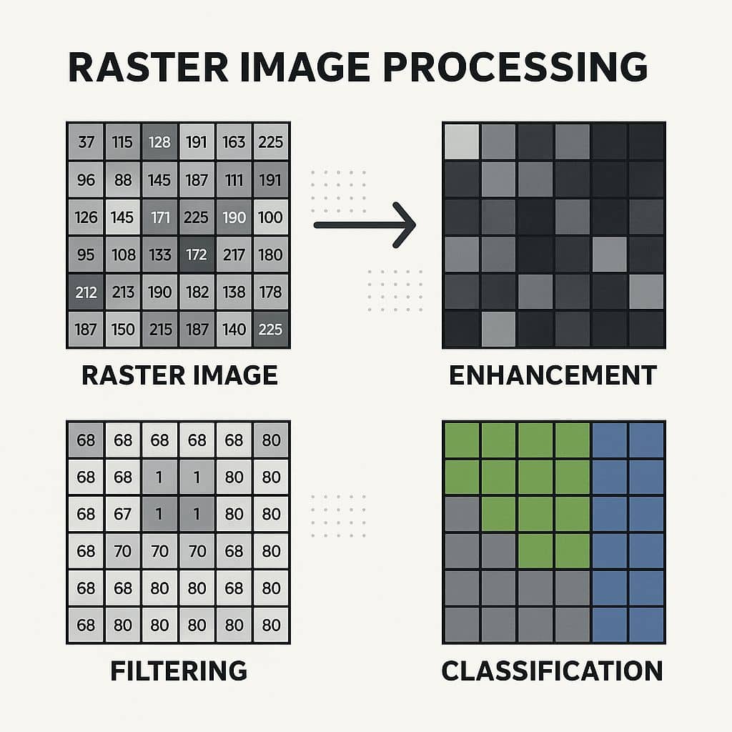
Raster Processing- Layer stack, Subset and Mosaic, using Erdas Imagine Raster Image Processing is the enhancement and analysis of raster data—commonly used in Remote Sensing, GIS, and Digital Image Processing. Raster processing is crucial because most satellite images, aerial photos, DEMs, and climate datasets are in raster format. A Raster image processor is a component […]