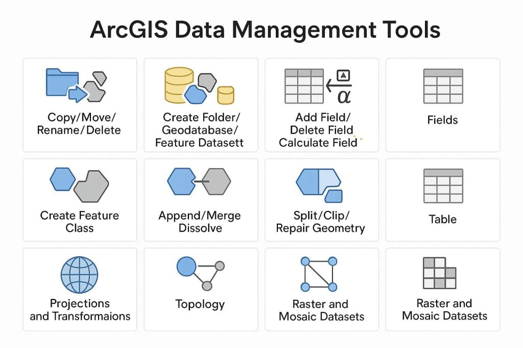
Data Management Tools ArcGIS
ArcGIS Data Management Tools In ArcGIS the Data Management toolbox provides a varied collection of tools that are used to develop, manage, and maintain Feature classes, datasets, layers, and Raster data structures. The Data Management toolbox lets you perform functions from simple tasks like managing basic structures, such as fields and workspaces, to more complex […]