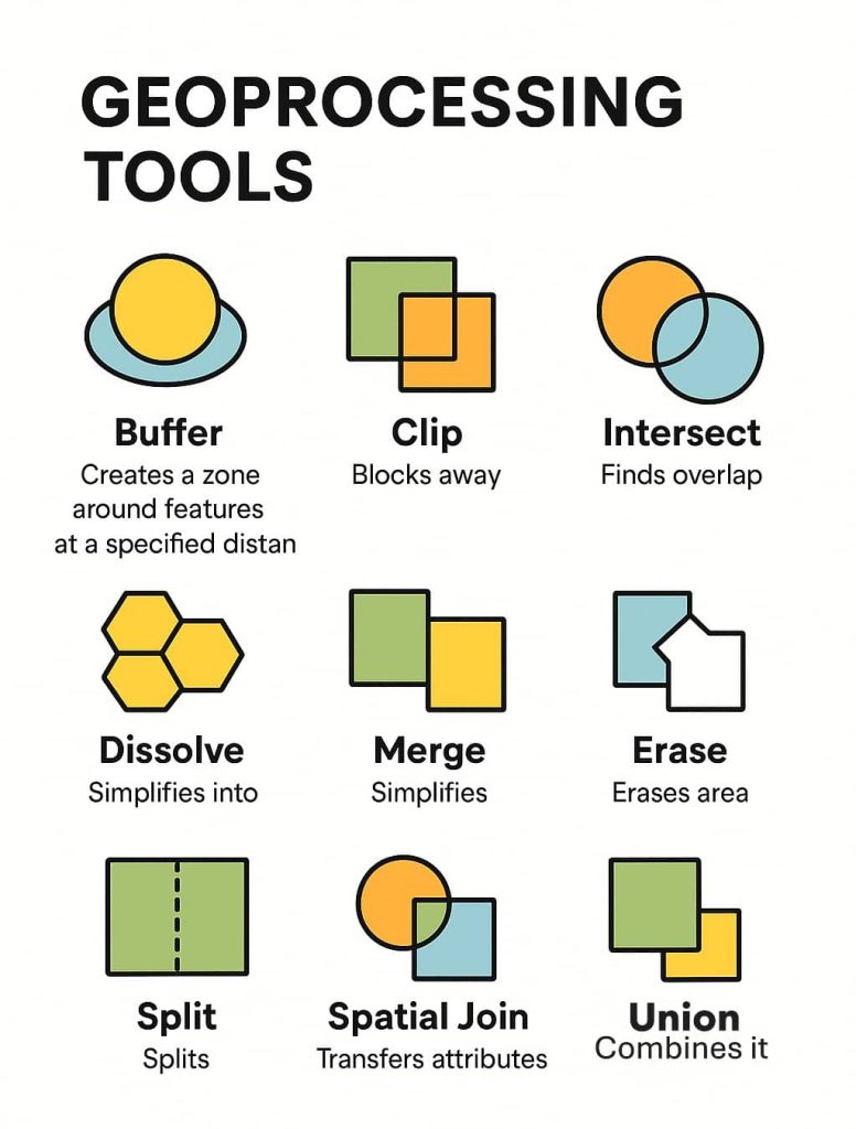
Geoprocessing

Geoprocessing is a framework and set of tools for processing geographic and related data. A GIS Geoprocessing Tools can improve your productivity because the tools apply edits in bulk, such as to all features or all selected features.

ArcGIS Buffer

Buffer in ArcGIS The buffer distance parameter can be entered as a fixed value or as a field containing numeric values. Usage Buffer Tool in ArcGIS Creates buffer polygons around input features to a specified distance. The buffer routine traverses each of the input feature’s vertices and creates buffer offsets. Output buffer features are created […]

ArcGIS Buffer Read More »

Geoprocessing

Geoprocessing Tools in ArcGIS Geoprocessing Tools can improve your productivity because the tools apply edits in bulk, such as to all features or all selected features. Most times, a similar editing function applies to only one feature at a time. In this Tutorial, Learn to use Geoprocessing Tools in ArcGIS. Uses of Geoprocessing Geoprocessing Tools in a model to

Geoprocessing Read More »

Scroll to Top