GISRSStudy » GIS

GIS

GIS (Geographic Information System) is a framework to organize, communicate, and understand the science of our world. GIS integrates many types of data. It analyzes spatial location and organizes layers of information into visualizations using maps and 3D scenes. Every field are using GIS to make maps that communicate, perform analysis, share information, and solve complex problems around the world.

In below list of GIS Analysis Tutorial.

Georeferencing

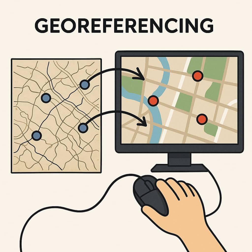
Georeferencing in GIS What will you learn? : What is Georeferencing? Types of Georeferencing, Georeferencing in GIS, Georeferencing in QGIS, Georeferencing in ArcGIS. What is Georeferencing? Georeferencing is a Coordinate system of a digital map to a ground system of Geographic Coordinates. A Georeferenced image has been to a known Earth Coordinate system, that is […]

Georeferencing Read More »

Download Shapefile

Download Free GIS Shapefile Data In this tutorial discuss about, How to Download free Geographic (GIS) Shapefile Data in DIVA-GIS. DIVA-GIS is a free web service for downloading mapping and geographic data analysis. Its provide free spatial data for the whole world. It is developed by Robert J. Hijmans. Earlier versions were developed in collaboration

Download Shapefile Read More »

GIS Freelance

Freelance GIS GIS (Geographic Information System) collects geographical information or data, analyzes data, and making maps. At present day GIS involved for every industry, so day by day increase the demand for Geoinformatics. That is the reason many students choose this field want to doing the career. Introduction Some professional GIS person involved big industry,

GIS Freelance Read More »

National Map Viewer

USGS National Map Viewer Tutorial What is National Map Viewer? The National Map Viewer (TNM Viewer) is the one-stop destination for visualizing all the latest National Map data. It uses easy to navigate foundational base maps and makes it simple to interact with all the USGS themes to create your own map. TNM is a

National Map Viewer Read More »

AI for GIS

AI for GIS – AI and ArcGIS AI (Artificial Intelligence) is powerful with GIS, it can do even more. The GIS is augmented with AI’s predictive capabilities to identify when a plane would need parts or maintenance, making a complex supply chain even more efficient and on schedule. Combine the world’s most powerful GIS and

AI for GIS Read More »

Scroll to Top