GISRSStudy » GIS Online

GIS Online

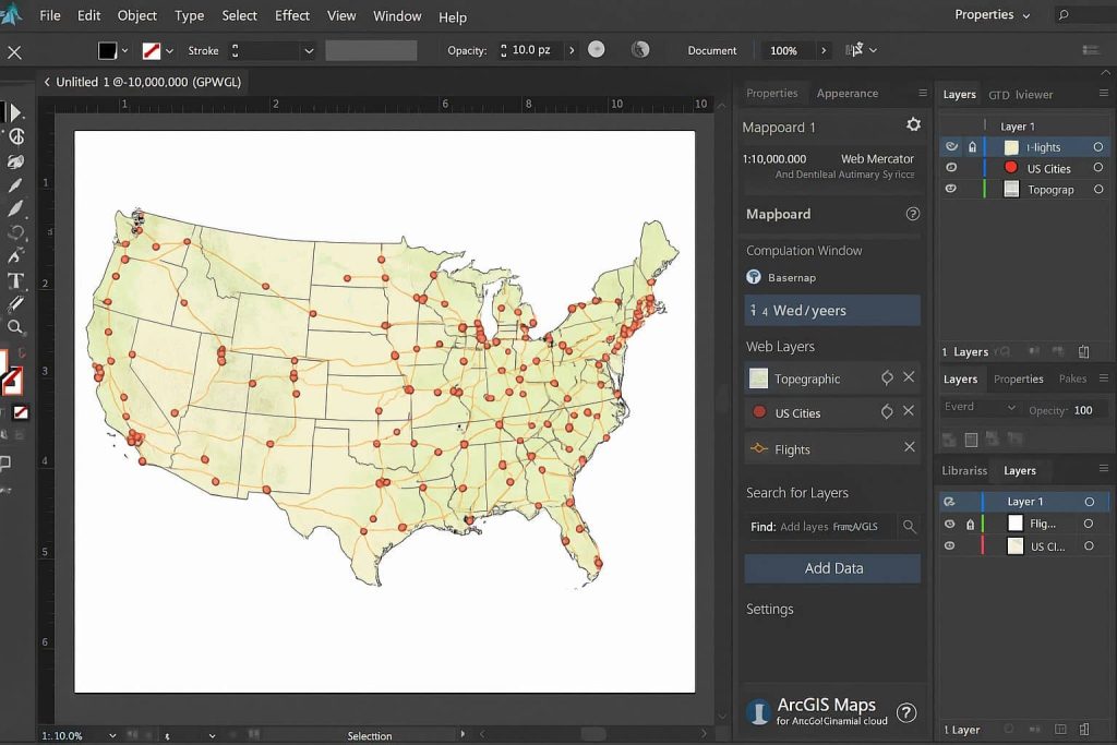
Online GIS helps you to manage, analysis, and share GIS data, It is a Cloud-based application to create and share interactive web maps.

Google Earth Studio

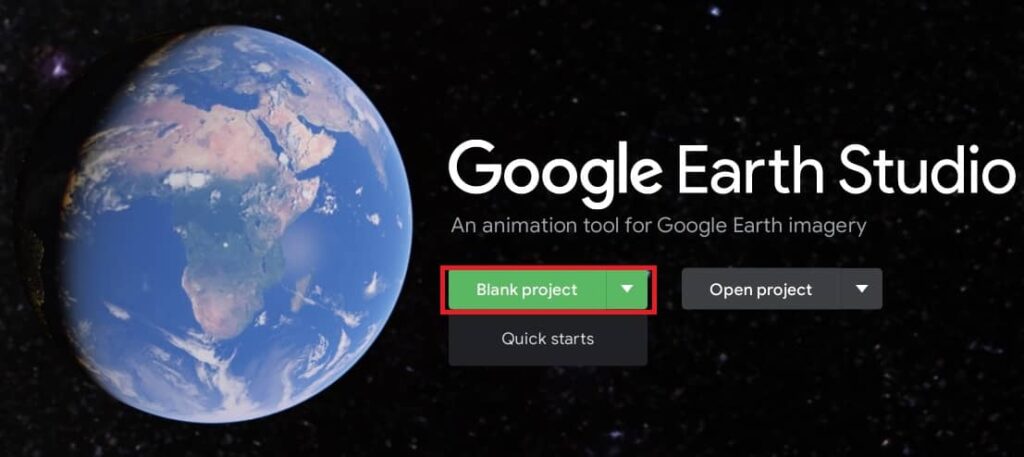
Google Earth Studio Tutorial Earth Studio is an animation tool for Google Earth’s satellite and 3D imagery. What is Google Earth Studio? Earth Studio is a web-based animation tool for Google Earth 3D and satellite imagery. It has a massive store of satellite and aerial 2D and 3D Earth data, from large-scale geological features to individual […]

Google Earth Studio Read More »

ArcGIS Open Source

ArcGIS Open Source Software Esri employees have developed over 500 open source projects on GitHub, most of them licensed under Apache 2.0; regularly contribute to third-party projects like GDAL; and attend FOSS4G conferences. Esri continues to make significant technical and financial contributions to open source software events, libraries, tools, and apps. The Esri development staff are

ArcGIS Open Source Read More »

QGIS2Web

QGIS2Web Tutorial What is QGIS2Web? QGIS2Web is a plugin for allows you to export your map. If you don’t have your own web server, then QGIS Cloud offers this service with a free version available. QGIS plugin to export your project to an OpenLayers, Leaflet, or Mapbox GL JS web map, so you can view

QGIS2Web Read More »

QGIS Basemap

Basemap in QGIS In other GIS Software, like; ArcGIS, ArcGIS Pro, Erdas Imagine, GRASS GIS, GeoMedia, etc offers a Basemaps. QGIS also provide a many types of Basemap. This tutorial we will three ways to add Basemaps to your QGIS project. How to Add Basemaps in QGIS? If you are new in QGIS, check out

QGIS Basemap Read More »

Scroll to Top