ArcGIS 3D Analyst
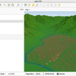
ArcGIS 3D Analyst comes with true 3D analysis tools that can help you determine the contour, slope, or elevation of a region.
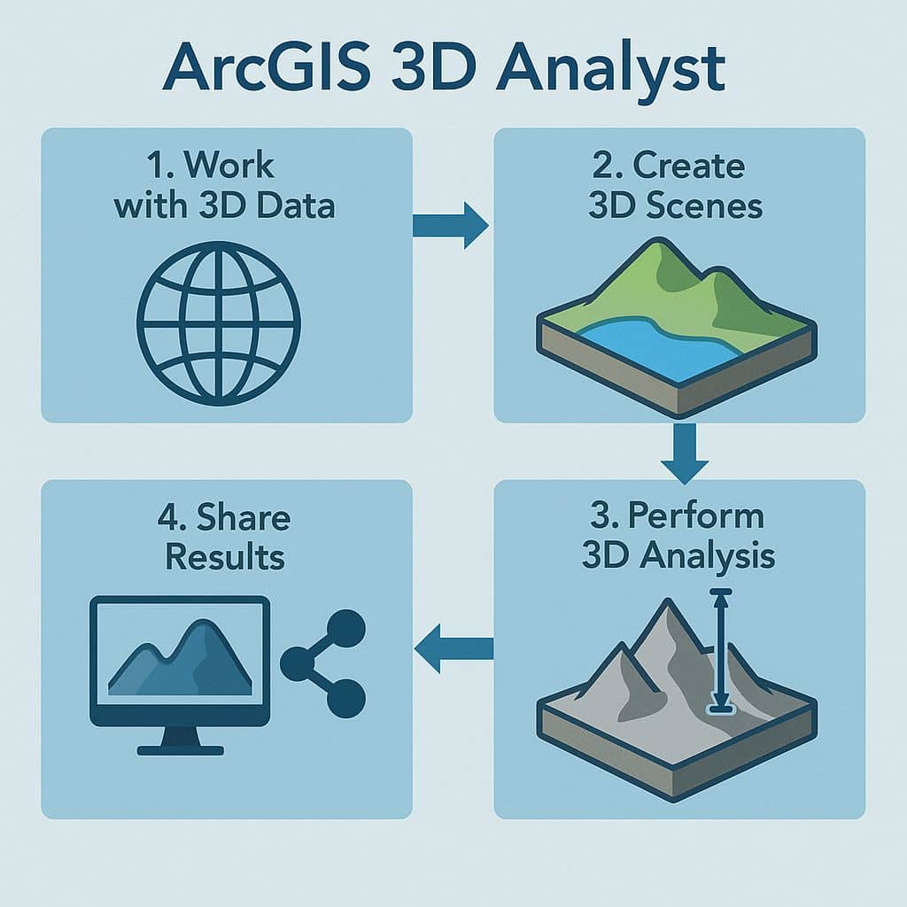
Its help you to Quickly generate 3D master plans, publish and share your 3D scenes of the public. Use 3D Analyst for Server to share your 3D Analyst tools and models on desktop, mobile, and web applications.
3D Analyst Extension
ArcGIS 3D Analyst extension helps you to view GIS data on a 3D globe, and 3D planimetric.
How to Enable Extension
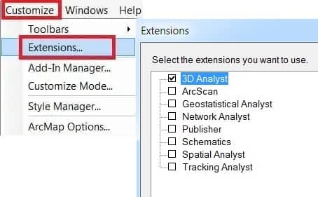
Enabling 3D Analyst extension, Click the Customize menu, and select Extensions. In the Extensions dialog box, Check 3D Analyst to enable it, and close the dialog box.
3D Analyst Toolbar
The 3D Analyst toolbar allows only ArcMap and ArcScene, and the 3D View Tools and Globe View Tools toolbars allow only ArcCatalog.
Enabling the 3D Analyst toolbars, Click Customize menu, Point to Toolbars, select 3D Analyst.

- 3D Analyst Options
- 3D Analyst Layer
- Create Contours
- Create Steepest Path
- Create Line of Sight
- Interpolate Point
- Interpolate Line
- Interpolate Polygon
- Create Profiles
- Open ArcScene
- Open ArcGlobe
3D Analyst Tools
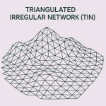
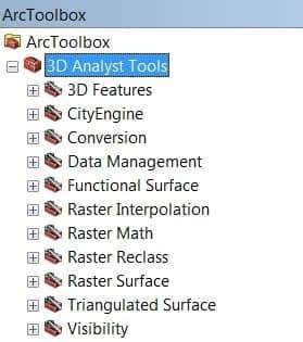
ArcGIS 3D Analyst Geoprocessing tools are categorized into toolsets depending on the task type and the desired input or output feature class. It can be perform multiple tasks, like; TINs, Rasters, Terrain surfaces, and more.
3D Analyst and ArcMap
In ArcMap, you can do the following:
- Create surfaces
- Create 3D features
- Convert 2D features into 3D features
- Run 3D analysis and geoprocessing tasks


